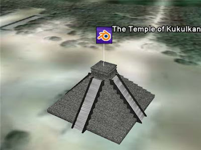
 In this tutorial we will examine the process of placing a Blender model into the Google Earth application. Google Earth provides satellite imagery depicting the entire earth and allows users to insert three-dimensional objects at specific latitudinal and longitudinal locations.
To get the entire Tutorial Download the PDF ( Click Here To Download )


0 comments:
Post a Comment